THE GREAT PYRAMID PAPERS
The Solar System Model
PAPER U
March 2024
PAPER T
March 2024
PAPER S
March 2024
PAPER R
March 2024
PAPER Q
March 2024
PAPER P
March 2024
PAPER O
March 2024
PAPER N
September 2023
PAPER M
September 2023
The Giza Plateau
PAPER L
March 2023
PAPER K
December 2022
PAPER J
April 2022
The Great Pyramid
PAPER I
December 2021
PAPER H
April 2021
UPDATE
PAPER G
April 2021
PAPER F
April 2021
PAPER E
April 2021
PAPER D
April 2021
PAPER C
April 2021
PAPER B
April 2021
PAPER A
September 2020
BOOK 1
August 2010
Home Page
INDEX
The Great Pyramid, the Earth and the Cubit
- Defining the cubit
- The perfect meter
- Reference ellipsoid of Earth
- Tectonic plate movement in Giza
ABSTRACT
The Great Pyramid of Giza, a well known ancient monument on the outskirts of Cairo, has had its internal
architecture analysed in the previous papers in this series in which the vertical and horizontal interlocking
nature of the chambers within the building has been established. It was shown within this body of work
that the architecture of the Great Pyramid contains a scale model of the Earth within it, and that two of the
fundamental parameters of the Earth's reference ellipsoid are explicitly defined in the architecture.
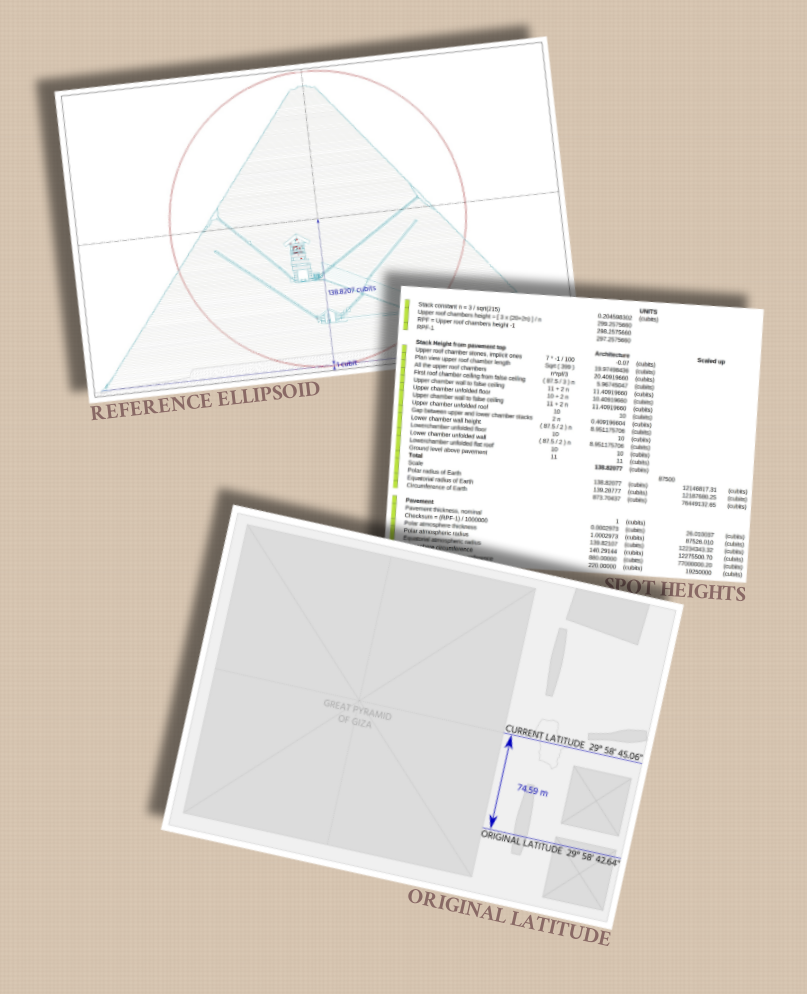
In this paper I show that the cubit length of the base of the pyramid, which is explicitly documented on the north wall of the upper chamber of the building, is precisely half the circumference of the Earth model that is found within the architecture. I then show, by way of conjecture, that there is a secondary principal unit of measurement contained in the pyramid which is defined from the circumference of the Earth in an identical manner to the definition of the modern meter.
I then determine that the cubit length, which is the commonly accepted measurement unit used by the builders within the Great Pyramid, is defined from the latitude of the building when expressed in radians, and thereby determine the original value for the latitude of the pyramid.
By comparing the current and original latitudes of the pyramid I calculate the movement of the African tectonic plate upon which the pyramid is built and show that this value falls within the measurement error margins of modern GPS station movement results and thereby verify the conjecture regarding the pyramid's units of measurement and their relationship to the building's latitude.
Having determined the method of definition of the cubit I then quantify the dimensions of the model of the Earth that is contained within the pyramid in metric units and show that it is based upon a full sized reference ellipsoid that is indistinguishable in size and proportions from our modern WGS84 reference datum.


ISBN Registered and ©Copyright
The right of Stephen Brabin to be identified as the author of this work has been asserted by him in accordance with the Copyright, Designs and Patents Act of 1998 All rights reserved. No part of this publication may reproduced, stored in or introduced into a retrieval system, or transmitted , in any form, or by any means, (electronic, mechanical, photocopying, recording or otherwise) without the prior written permission of the author. Any person who does any unauthorised act to this publication may be liable to criminal prosecution and civil claims for damages.